Overview
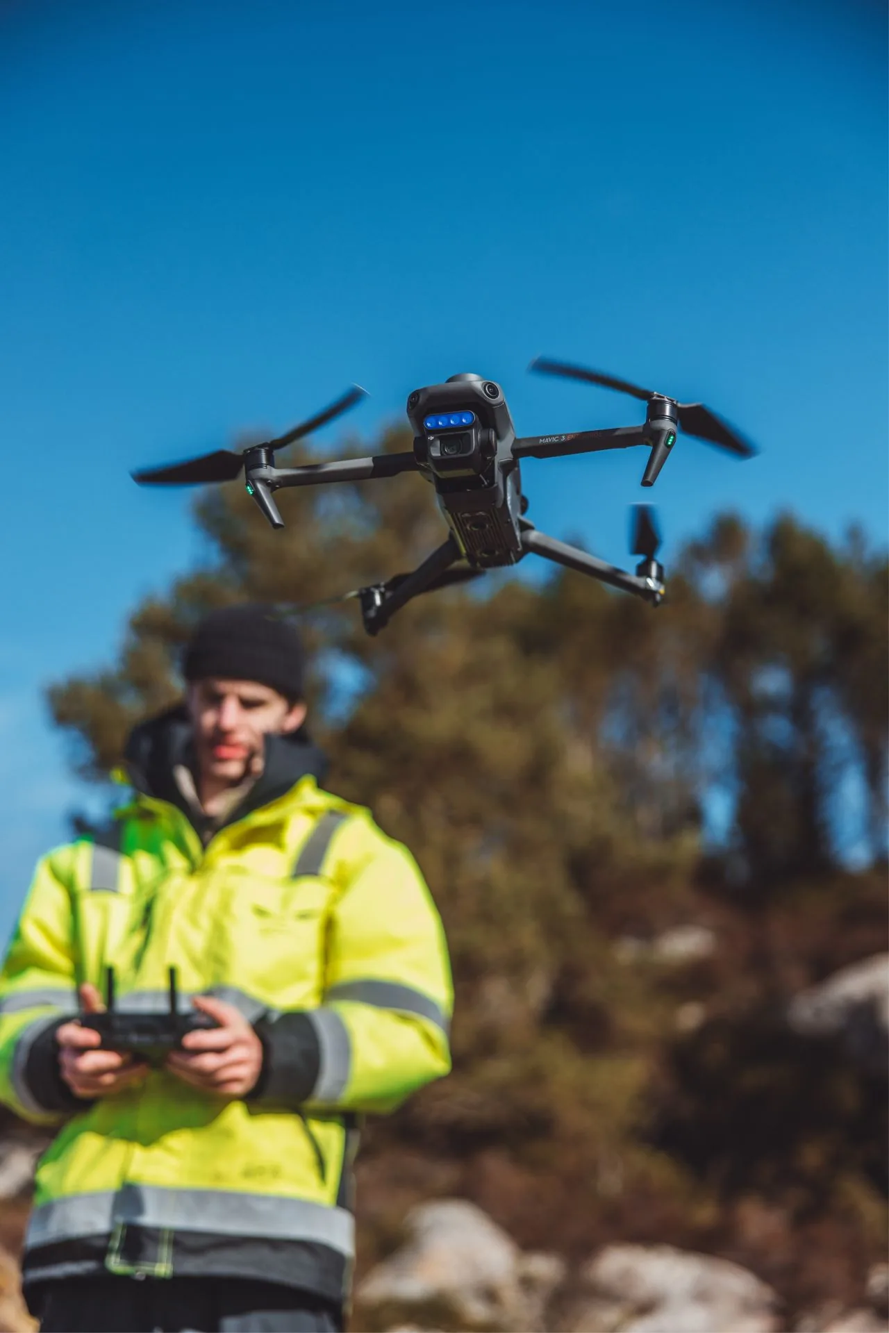
Osprey Inspection ran a field test on the DJI Mavic 3 Enterprise Multispectral, on loan from Boston Group A/S. We planned to use it for forestry and agricultural mapping. It turned out to be capable of a lot more than that, so it's now a permanent, multifunctional addition to our drone fleet.
What multispectral captures
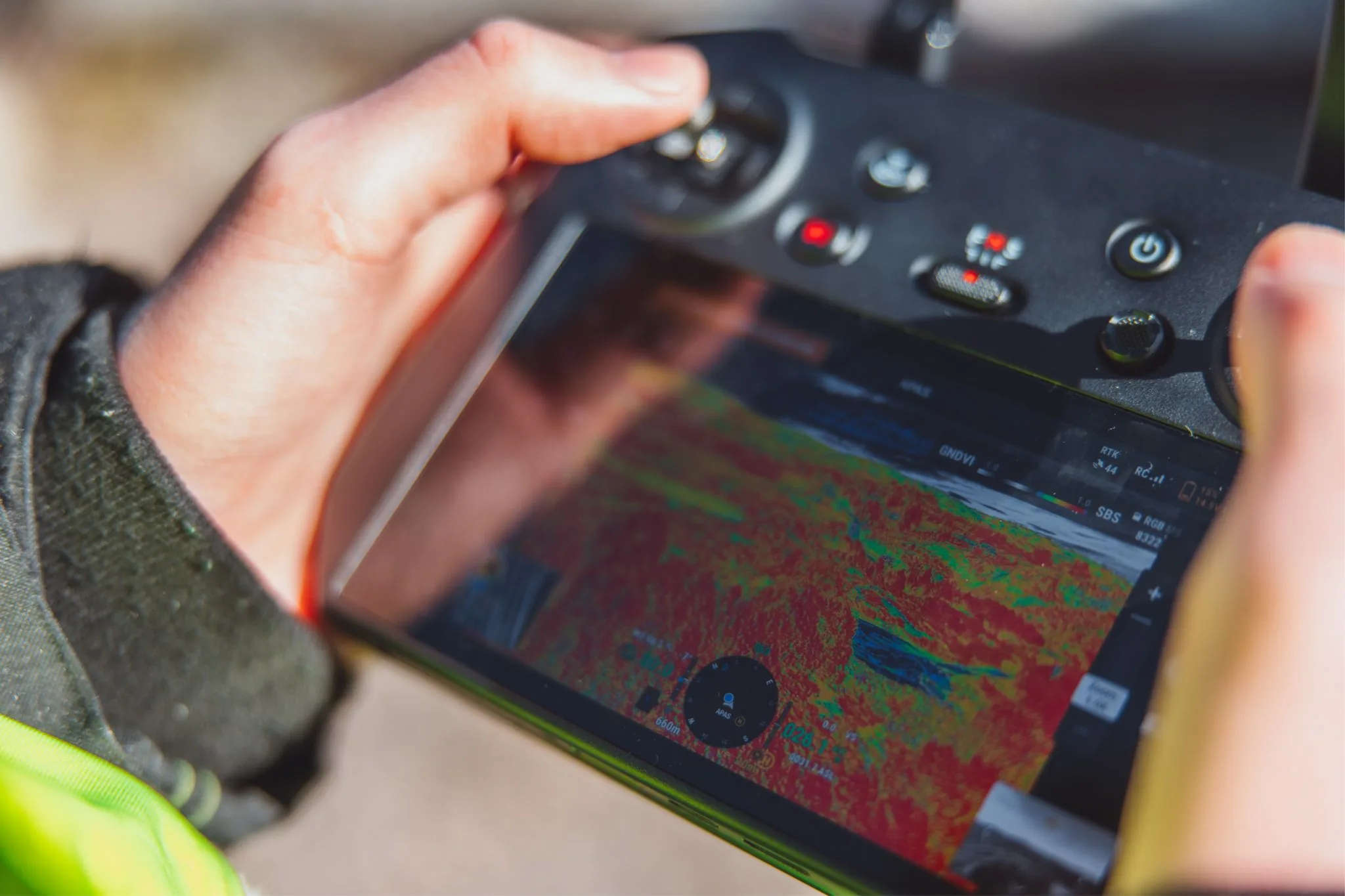
The multispectral cameras record reflectance at wavelengths outside human vision. By reading how light bounces off vegetation, the data shows plant health, soil condition and stress indicators that a standard RGB camera simply can't pick up. That's useful for crop monitoring, forestry health checks and environmental surveys.
Strengths in field use
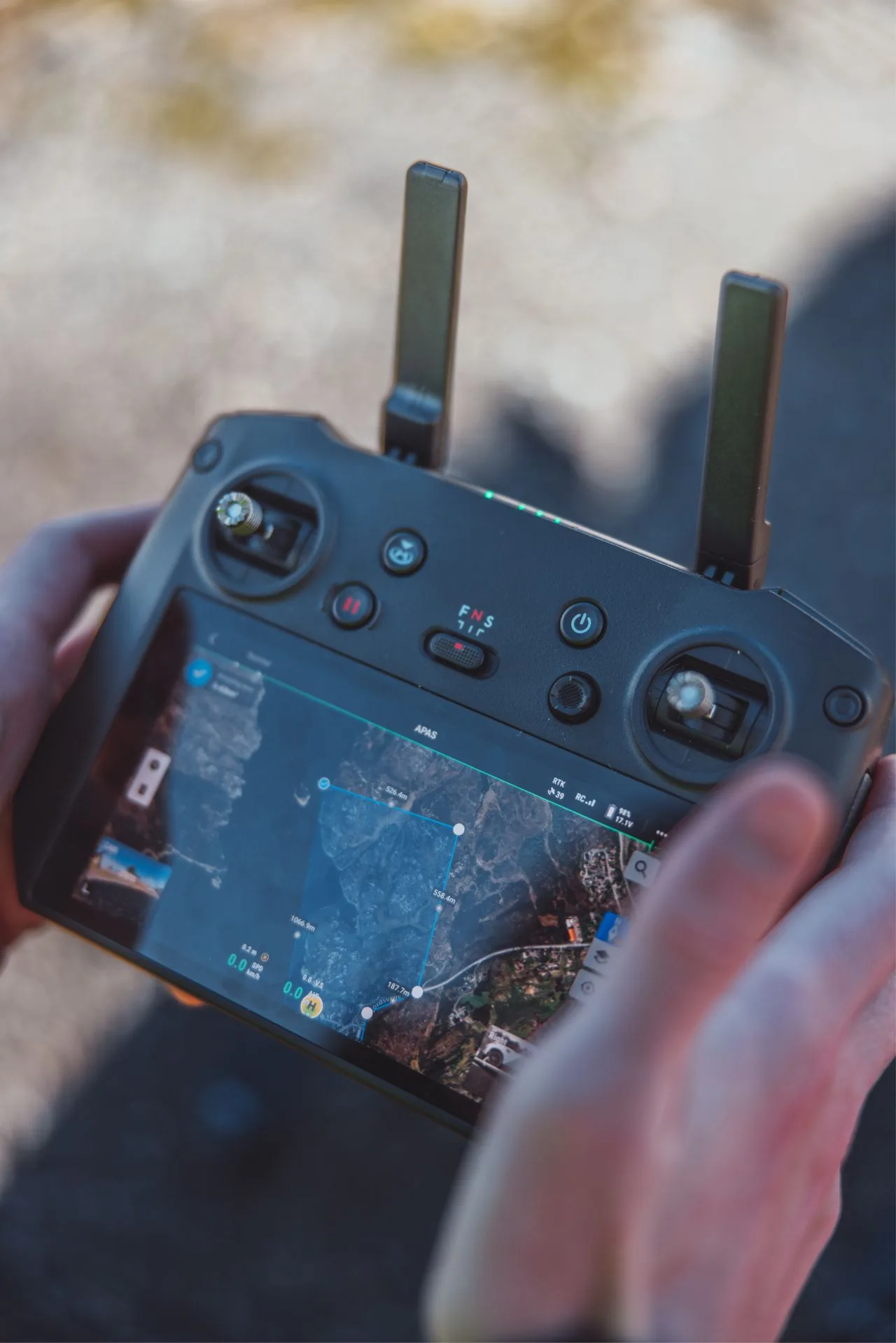
- Ultra-fast mapping of large areas. This is what surprised us most: coverage rate beats a typical inspection drone by a wide margin
- RGB camera with mechanical shutter, so no rolling-shutter distortion during fast mapping passes
- Real-Time Kinematics (RTK): centimetre-grade position on every frame captured
- Multispectral wavelengths reveal vegetation stress, plant health and soil condition
- Highly portable, quick to set up for ad-hoc surveys
Where this fits in our service mix
Multispectral capability rounds out our existing drone services, particularly for forestry, agriculture, environmental monitoring and large-area mapping, or any job where vegetation analysis or fast wide-area orthophoto coverage is needed.
Drone provided courtesy of Boston Group A/S for field evaluation.