Safe, cost-effective inspection of facades, roofs, bridges and industrial structures — visual and thermal documentation in one flight, no rope access or scaffolding needed.
Plan an inspectionA single drone flight covers facades, roofs, bridges, masts and industrial structures from every angle, combining visual imagery with thermal data. That replaces most of the rope access, scaffolding and cherry-picker work traditionally needed to get eyes on a structure.
High-resolution visual imagery captures cracks, spalling, corrosion and surface defects across facades, roofs and structural elements, without putting anyone at height.
Thermal (IR) imaging runs in the same flight, so heat loss, moisture ingress and insulation defects show up alongside the visual record.
Bridges, masts, chimneys and industrial structures that are difficult or dangerous to access get full coverage in a fraction of the time.
Findings are documented and geo-referenced, giving maintenance teams a clear record of what to prioritise and where.
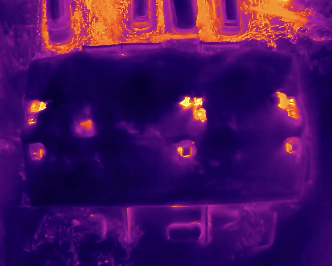
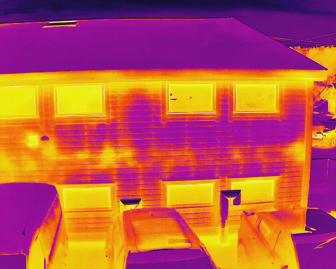
One flight captures both high-resolution visual imagery and infrared thermal data, so defects and heat anomalies get documented together.
No rope access, scaffolding or cherry-pickers required to get eyes on facades, roofs and high structures.
Every elevation and angle documented, including sections that are awkward or slow to reach from the ground.
Heat loss, moisture ingress and insulation defects picked up in the same flight as the visual survey.
Sharp enough to pick out cracks, spalling and corrosion at distance, so nothing gets missed on a first pass.
Findings mapped and geo-referenced, so your maintenance team knows exactly what to prioritise and where.
Indicative figures based on typical engagements — actuals depend on scope, asset and access constraints.
From facades to bridges, anywhere structural condition needs documenting without sending someone up there.
Cracks, spalling, staining and render damage documented across every elevation, including sections that are slow or risky to reach from the ground.
Membrane damage, ponding water and insulation gaps identified with combined visual and thermal imaging, no roof access required.
Undersides, deck edges, expansion joints and structural steel documented without traffic closures or under-bridge access equipment.
Flare stacks, chimneys, silos and masts inspected from every angle, keeping personnel off structures that are difficult or hazardous to climb.
Heat-loss mapping and insulation-deficiency detection across a building envelope, useful for energy audits and retrofit planning.
Objective visual and thermal documentation for property condition reports, due diligence and insurance claims.
Each flight captures high-resolution visual imagery and thermal (IR) data across the structure — facade, roof, and any area rope access or scaffolding would normally reach. You get both image sets plus a written summary of what needs attention.
For most visual and thermal documentation, yes. Close-up hands-on work such as contact testing, sampling or repairs still needs a person on site, but the survey and condition-assessment stage is done from the air.
Thermal cameras detect heat loss, moisture behind cladding, insulation gaps and some early-stage electrical or mechanical faults — none of which show up in a normal photo.
Facades, roofs, bridges, masts, chimneys, flare stacks, silos and other industrial structures. If it's slow, difficult or risky to access on foot, it's usually a good candidate for a drone survey.
Tell us about the building, bridge or structure. We'll scope the visual and thermal survey and deliver documentation your maintenance team can act on.