Millimetre-accurate 3D point clouds of platforms, plants and civil structures — for as-built documentation, deformation analysis and digital twin creation.
Request a QuoteSurvey-grade LiDAR generates dense, highly accurate 3D point clouds capturing the true geometry of structures — data that underpins engineering, maintenance and capital project decisions.
Terrestrial scanning to ±3 mm; drone (UAV) LiDAR to ~2–5 cm — engineering-grade fidelity matched to the method.
Mobile and static scanning options — rapid capture in operational environments without shutdown.
Standard formats (E57, LAS, RCP) compatible with all major engineering and BIM software.
Combines with photogrammetry for a textured digital twin in a single mobilisation.
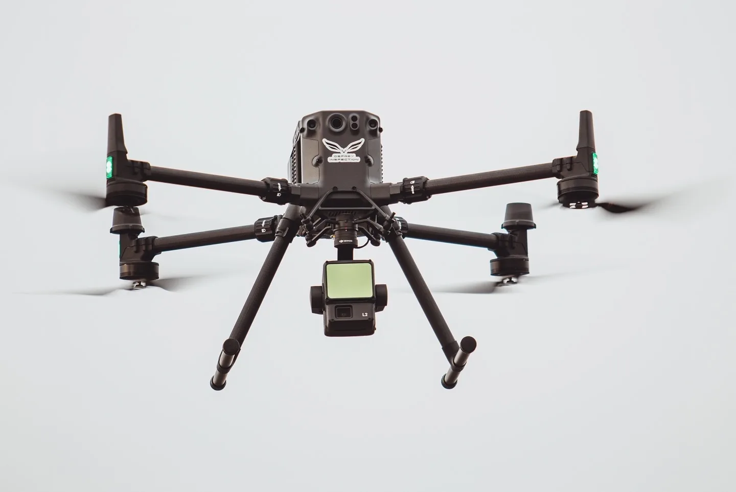
Terrestrial scanning to ±3 mm; drone LiDAR to cm-grade — engineering fidelity for design and brownfield work.
Non-contact scanning during full operational state — no production loss.
Modern systems capture entire platforms or plant areas in a fraction of conventional survey time.
Point cloud data integrates directly into Revit, Navisworks and Plant 3D — no third-party conversion.
Repeat scans detect settlement, creep and deformation over time — early warning before failure.
Complete 3D twins enable virtual walkthroughs, remote engineering and training.
Indicative figures based on typical engagements — actuals depend on scope, asset and access constraints.
Topside, process equipment and piping as-built records on fixed and floating offshore platforms.
Brownfield engineering scans to identify clashes and interferences before fabrication.
Stockpile, tank capacity and cut/fill calculations for material handling facilities.
Repeat surveys to detect settlement, creep, buckling on bridges, platforms and buildings.
Refinery and process facility scanning for turnaround planning and maintenance.
End-to-end digital twin combining LiDAR with photogrammetry for full virtual asset representation.
LiDAR uses laser pulses to measure distance directly — works in low light, through vegetation, and produces engineering grade geometric accuracy. Photogrammetry derives geometry from photos — produces photo realistic colour-textured models at lower cost. Most projects benefit from both: LiDAR for engineering precision, photogrammetry for visualisation.
Terrestrial (static) LiDAR delivers survey-grade accuracy to ±3 mm; drone-mounted (UAV) LiDAR typically achieves ~2–5 cm. With ground control points and proper registration, accuracy holds across multi-scan projects.
Yes. LiDAR is non-contact and non-intrusive — scanning proceeds while the asset operates. No shutdown, no production loss.
Registered point cloud (E57, LAS, RCP), 3D mesh (OBJ, FBX), orthographic plans and elevations, BIM-ready files (RVT, IFC), and analysis-ready datasets for engineering use.
Tell us about your asset and project objectives. We'll advise on the most efficient scanning approach and deliverable format.