Step inside the asset from anywhere. Matterport-captured 3D walkthroughs of facilities, plants and sites, built for remote inspection, training and asset records.
Request a QuoteMatterport captures fully navigable 3D walkthroughs that anyone can explore in a browser. We deploy it for industrial sites, offshore platforms, plant rooms and complex facilities where remote access and asset documentation matter.
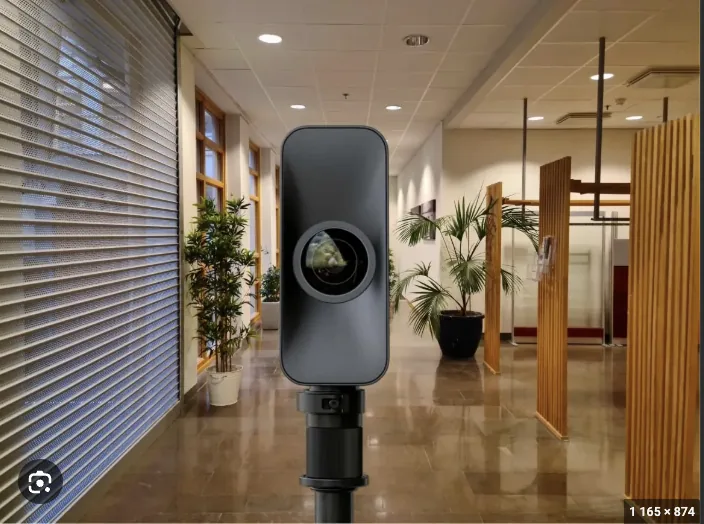
High-fidelity 3D capture using Matterport Pro2, Pro3 and Axis camera systems, accurate to the millimetre inside the tour.
Interactive features: MatterTags for equipment information, schematic floorplans, dollhouse view, embedded 360° photos and videos.
Browser-based access — share via link with stakeholders worldwide. No software installation needed.
Combined with drone exterior + LiDAR engineering data, produces a complete digital twin of indoor and outdoor environments.
Share a link, anyone explores the site in their browser. No app or login required.
Tag equipment, valves, instruments — link to manuals, work orders or video procedures.
Same tour viewable in VR headsets for immersive training and inspection scenarios.
Auto-generated floorplans with measurements — for engineering, FM and emergency planning.
Cut-away dollhouse view shows the entire structure at a glance, a Matterport-only feature.
Re-scan zones after modifications and overlay new state on previous tour for change comparison.
Indicative figures based on typical engagements — actuals depend on scope, asset and access constraints.
Refineries, power plants, processing facilities — full walkthrough for remote inspection, maintenance planning and contractor briefings.
Topside walkthrough capturing equipment placement, escape routes, control rooms and accommodation areas.
New crew get familiar with the platform layout before mobilisation, so ramp-up is faster and safer.
Pre-incident 3D record for first responders, crisis management teams and insurance documentation.
3D record per asset, updated annually. One place to check on equipment, layout and condition.
Commercial property, hospitality, shipyards and large-format facilities for sales, leasing and stakeholder engagement.
Matterport is a 3D capture system that builds interactive virtual tours you can open in any browser. We use it to give clients remote access to facilities for inspection, training, planning and stakeholder engagement, so not everyone has to be on site in person.
Capture time depends on facility size and complexity. A typical industrial floor (~2,000 m²) takes 4-8 hours on site. Processing happens in Matterport's cloud after capture, and the final tour is delivered as a shareable link.
Yes. Matterport tours embed in SharePoint, Confluence, custom dashboards and asset management systems. MatterTags can link to PDFs, videos, internal databases or BIM files. Schematic floorplans export to DWG/PDF for engineering use.
LiDAR gives you engineering-grade point clouds for design and analysis. Matterport gives you a walkthrough people can actually use, for training and remote inspection. Run both: LiDAR for the engineers, Matterport for everyone else who needs to see the site.
Tell us the asset type, size and use case (training, remote access, asset record). We'll scope the capture and quote based on m² and tag complexity.