Services Projects About Contact Plan an inspection
Multispectral drone mapping over Norwegian terrain — vegetation analysis
← All Services
MultispectralNDVIRTK

Multispectral Mapping
& Analysis

Multispectral imaging picks up what the eye can't: vegetation health, crop stress and environmental change, mapped across entire areas in a single flight.

Plan an inspection
What We Do

See Beyond the Visible Spectrum

A multispectral sensor captures RGB plus green, red, red-edge and near-infrared bands at the same time. The vegetation indices computed from those bands pick up plant stress, disease and growth variation across whole fields and forests, often well before it shows up on the ground.

RGB camera with mechanical shutter plus four dedicated spectral bands (green, red, red-edge, near-infrared) captured in a single pass.

RTK GNSS gives centimetre-grade positioning on every frame, so index maps line up precisely with GIS layers and machinery guidance systems.

Coverage rate beats typical inspection drones by a wide margin, so large agricultural and forestry areas get mapped in just a handful of flights.

Deliverables (NDVI/NDRE maps, zonation maps, GeoTIFF) feed directly into farm-management software and variable-rate equipment.
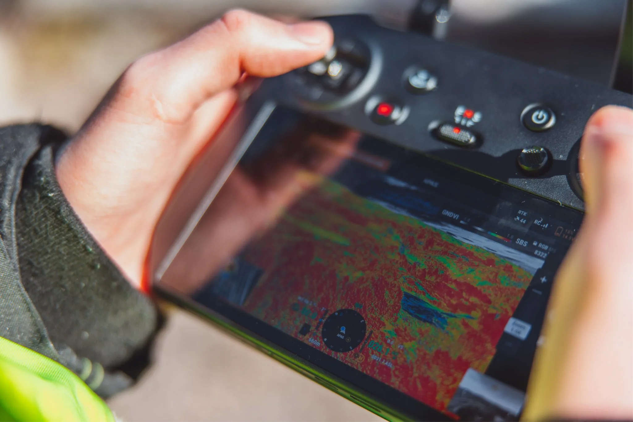
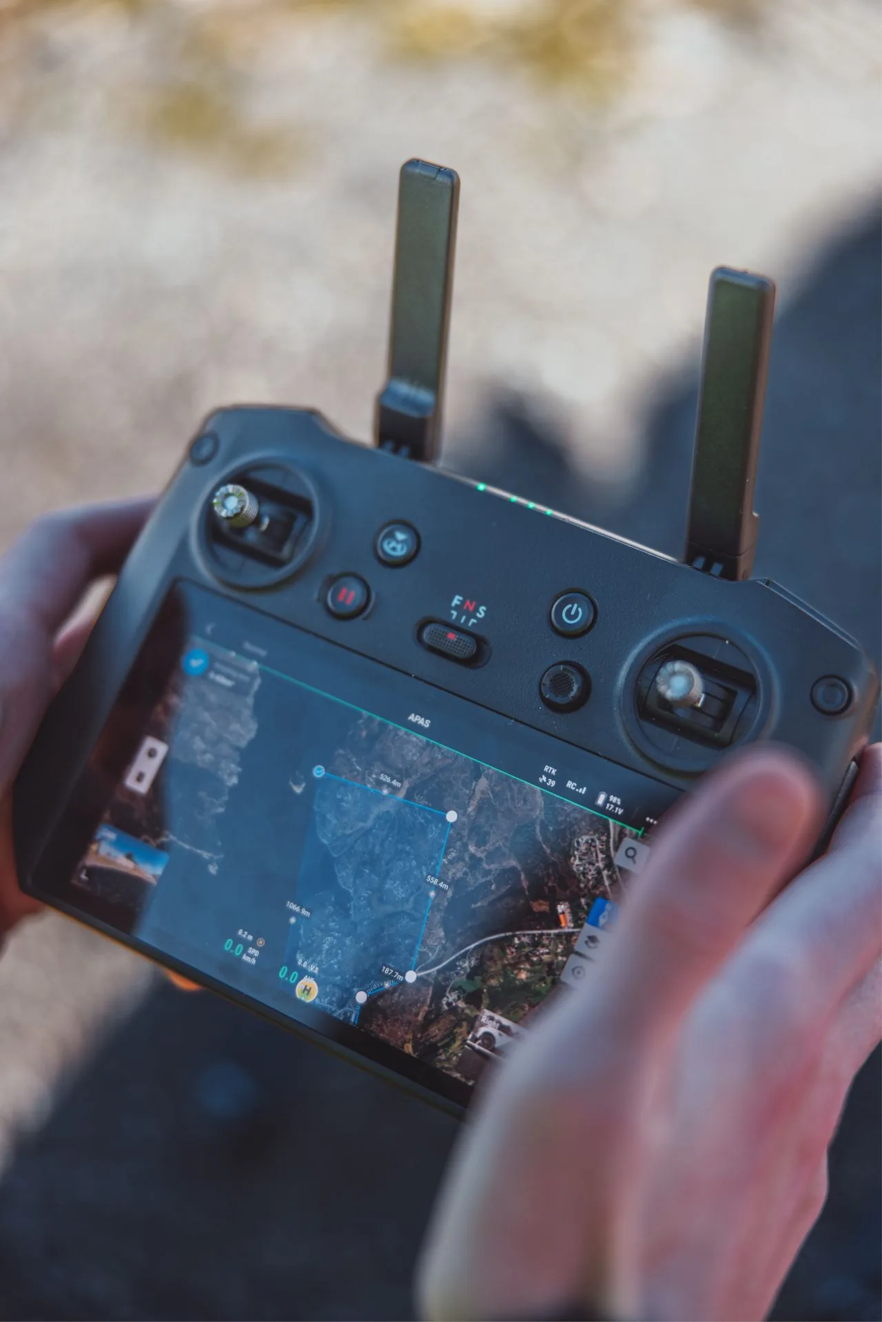
Multispectral vegetation-index map produced from drone imagery
Key Benefits

Why Multispectral

5

Spectral Bands

RGB plus green, red, red-edge and near-infrared, captured in one pass. One flight gets you the complete spectral dataset.

NDVI

Vegetation Indices

NDVI, NDRE and GNDVI maps reveal plant stress, disease and nutrient variation invisible to the naked eye.

RTK

Centimetre Positioning

RTK GNSS on every frame, so index maps line up precisely with GIS layers and machinery guidance.

Wide

Rapid Area Coverage

Purpose-built mapping platform covers large fields and forest areas far faster than typical inspection drones.

Shutter

Mechanical Shutter

Eliminates rolling-shutter distortion in fast mapping flights, so imagery stays sharp and geometrically correct even at speed.

GIS

GIS-Ready Deliverables

Georeferenced GeoTIFF, shapefile and prescription maps feed directly into farm-management and GIS software.

Value Delivered

What clients save

1 flight, five bands
Complete spectral dataset
No repeat mobilisation for extra bands
Early stress detection
Act before damage spreads
Stress visible in NIR before the eye sees it
Targeted input use
Variable-rate prescription maps
Fertilise and spray only where needed

Indicative figures based on typical engagements — actuals depend on scope, asset and access constraints.

Applications

Where Multispectral Adds Value

From precision agriculture to environmental monitoring, anywhere vegetation condition is part of the decision.

01

Precision Agriculture

Crop-health maps and variable-rate prescription files, so you fertilise, spray and irrigate based on measured plant condition, not guesswork.

02

Forestry Assessment

Stand health, storm and drought stress, bark-beetle detection and regrowth monitoring across large forest areas.

03

Environmental Monitoring

Vegetation change, revegetation compliance and habitat mapping, documented objectively over repeated campaigns.

04

Vegetation Near Infrastructure

Encroachment mapping along power lines, railways and pipelines, so clearing crews prioritise the spots where vegetation actually threatens assets.

05

Research & Field Trials

Objective, repeatable vegetation measurements for agronomic research, seed trials and land-management studies.

06

Wide-Area RGB Mapping

The same platform doubles as a fast RGB mapper for orthophotos of large areas, when speed matters more than survey-grade 3D.

Common Questions

Multispectral FAQ

What is multispectral drone mapping?

A multispectral drone captures the same area in several light bands at once: RGB plus green, red, red-edge and near-infrared. Vegetation reflects each band differently depending on its condition, so the data picks up plant stress, disease and growth problems well before you'd spot them by eye.

What are NDVI and NDRE used for?

NDVI, NDRE and similar vegetation indices are calculated from the spectral bands and mapped across the whole field or forest. They show where vegetation is healthy, stressed or absent, which feeds into fertiliser planning, variable-rate application, irrigation decisions and forestry assessment.

How accurate is the positioning?

The platform flies with RTK GNSS, so every captured frame gets centimetre-grade positioning. Add a mechanical shutter that kills rolling-shutter distortion, and the output maps are accurate enough to feed directly into precision-agriculture equipment and GIS workflows.

What deliverables do I receive?

Georeferenced orthomosaics for each band, vegetation-index maps (NDVI, NDRE, GNDVI), zonation/prescription maps for variable-rate application, and GIS-ready exports (GeoTIFF, shapefile). What you get depends on your equipment and software.

Curious what multispectral can reveal on your land?

Tell us about your fields, forest or site. We'll scope the mapping, recommend the right indices and deliver data your equipment can use.